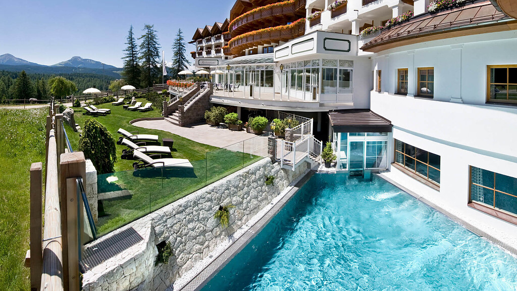
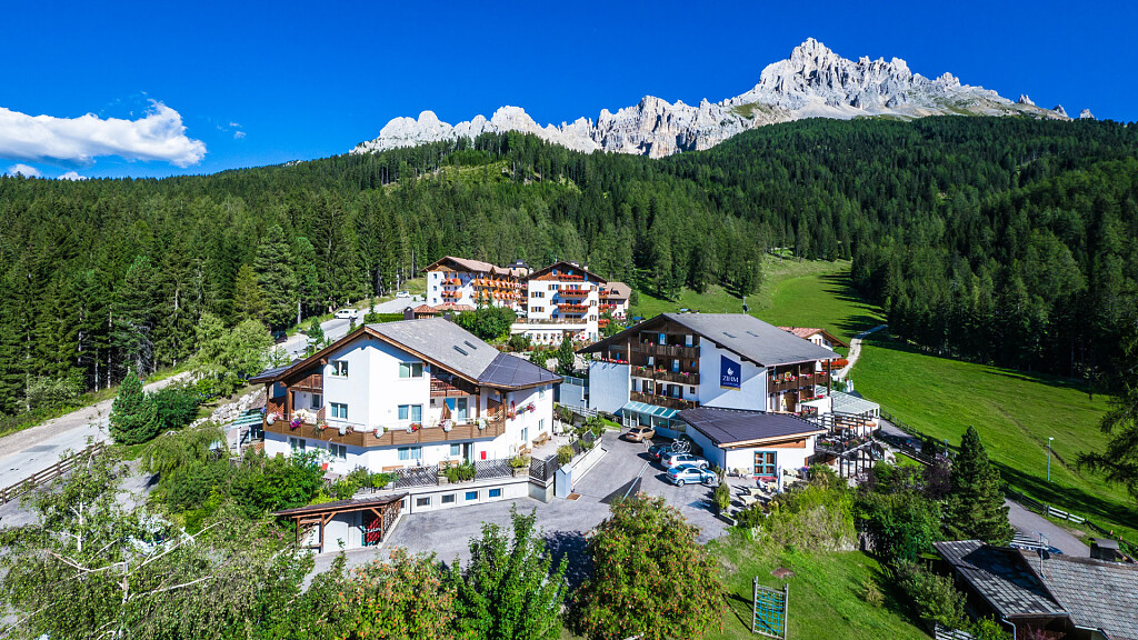
Val d'Ega is best known for Lake Carezza, but it also has some beautiful viewpoints. To be precise, 6 of them are part of the mountain cinema. These viewpoints are located along the paths of Nova Ponente, Obereggen, Collepietra and Nova Levante-Carezza and can be easily reached on foot. Breathtaking scenery will provide unique emotions for your holiday in Val d'Ega.
The installations consist of benches with a frame, reminiscent of a movie theatre. Each point is also equipped with a table with panoramic photos including descriptions of the mountains.
6 panoramic views also perfect for a post on Instagram: choose the one you like best and post the wonders of Val d'Ega by tagging dolomiti.it and using the #dolomitiamo.
The 6 viewpoints
Latemar meadows (1,861 m)
Itinerary: Costalunga Pass - Trail no. 17 - Latemar meadows - Mountain cinema
1.3 km - 0.5 hours - 149 m difference in altitude
Piazza Walther (1,881 m)
Itinerary: Nova Levante Cableway - Frommeralm - Trail no. 15 - Piazza Walther - Mountain cinema
1,7 km - 1 h - 326 m difference in altitude
Laab Alm (1,649 m)
Itinerary: Centre of Nova Ponente - Café Luise/roundabout - Daum street no. 1 - Laab path no. 1 - Mountain cinema - Laab Alm
2,6 km - 1 h - 300 m difference in altitude
Latemar.Natura (2,100 m)
Itinerary: Piazza Collepietra - path no. 2 - path no. 8 - Wie-denhof restaurant - path no. 8a - "Spitzköfele" - path no. 6 downhill - Kummerhof farm - access road to the farm back to the village - "Weißes Bild" - Hotel Steineggerhof - mountain cinema - "Pstosser Bühl" playground - Collepietra
5 km - 1.50 h - 210 m difference in altitude
Steineggerhof (900 m)
Itinerary: Obereggen/Oberholz mountain station - path no. 18 - panoramic flat shape Latemar.360° - path no. 22 - mountain cinema - junction above the mountain station of the Absam-Maierl chairlift - Mayrl alpine pasture - path no. 23 - Oberholz mountain station
3.1 km - 1.5 hrs - 210 m difference in altitude
Furner Oach (1,130 m)
Itinerary: Piazza Collepietra - path nr. 2 - path nr. 8 - Wie-denhof inn - nr. 8 "Spitzköfele" - path nr. 6 - Collepietra high route - with "yellow shoe" sign - sports field - Shiloo Ranch - path nr. 3 - at the water reservoir to the right - path next to the road downhill - double bend - "Furner Oach". Return: trail nr. 3a - pyramid trail - trail nr. 2 - "Katzenbach" river gorge - "Weißes Bild" - Collepietra
10 km - 3.30 h - 441 m difference in altitude







-tablet.jpg)

