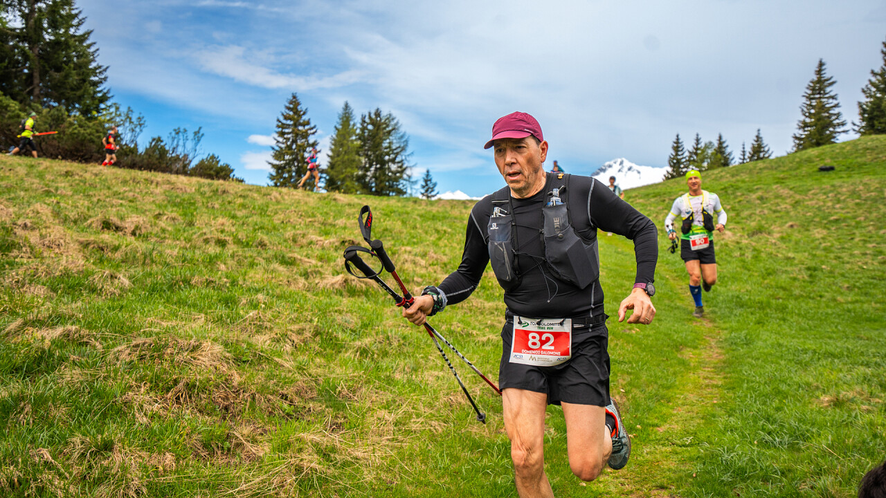
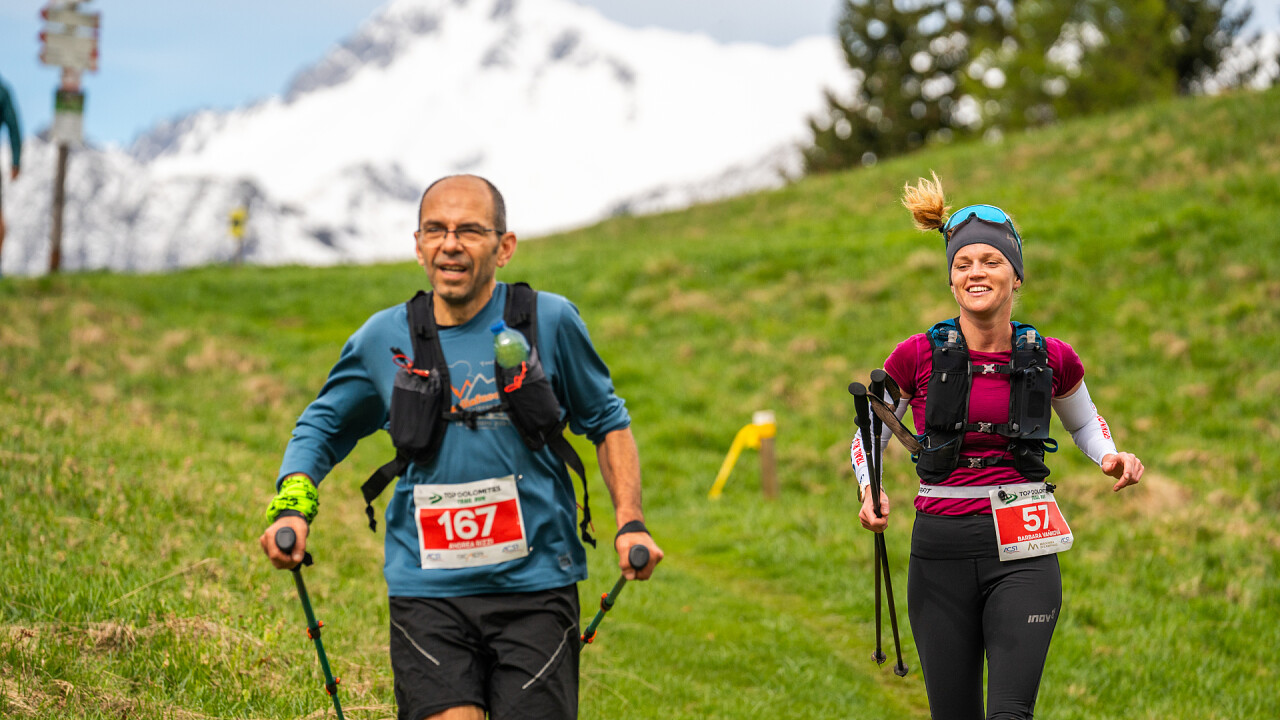
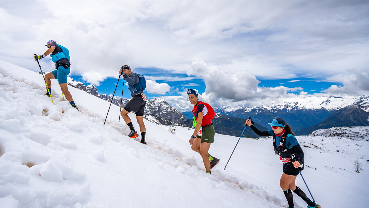
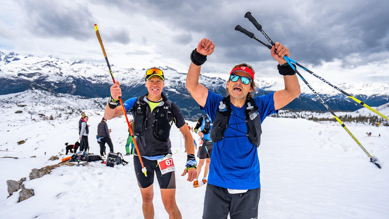
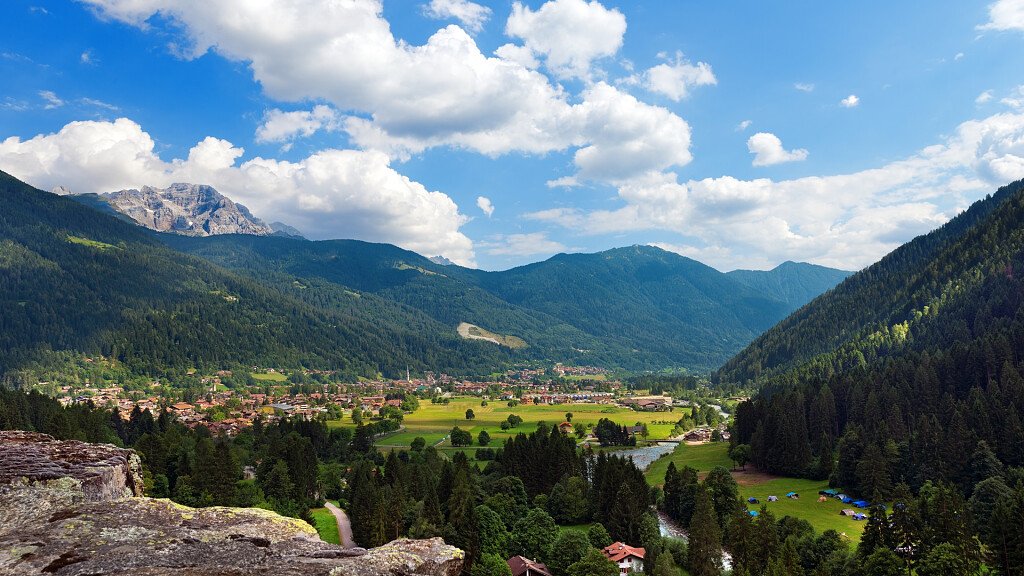
An exciting three-path trail in the spectacular Brenta Dolomites. An unrepeatable adventure to be experienced alone or with friends, as part of the biggest outdoor festival in the Brenta Dolomites. On 7 June, choose one of the three trails according to your level of preparation and reach your ultra trail goal: from the thrilling ascent to Grostè, through Madonna di Campiglio and down to Pinzolo, welcomed by music, shows, friends, family and fans ready to celebrate your goal with you. BECOME A TOPMAN!
Top Dolomites Trail Run: 3 routes
ULTRA Trail - 49 km, 2,500 m of altitude difference, 7 refreshments
Departure from the centre of Pinzolo for a route immersed in the woods and breathtaking views of the Brenta Dolomites. After an ascent to Malga Bandalors, we reach Malga Movlina at an altitude of 1,830 m, with spectacular views and a descent to Lago di Valagola. Next, the route continues towards Brenta Alta and the Casinei refuge, crossing the Valesinella waterfalls, to the Graffer peak at 2,250 m. From here, a long descent leads to Fortini and the last stretch to the finish in Pinzolo, amidst woods and spectators ready to celebrate.
MEDIUM Trail - 22 km, 1,320 m difference in altitude, 3 refreshments
The Medio trail shares much of the Ultra trail, starting from the centre of Pinzolo and immediately a long climb through the woods to Malga Bandalors, where the first refreshment point is located. Continuing along spectacular paths immersed in nature, one arrives at Malga Movlina at an altitude of 1,830 m, a panoramic point over the Brenta Dolomites. The descent leads to the picturesque Valagola Lake, with the final climb to Mavignola. From here, a final downhill section leads to the finish in Pinzolo, where the public awaits the runners.
SHORT Trail - 10 km, 690 m altitude difference, 1 refreshment
The Short Trail partly follows the Ultra and Medio trails. After the start in the centre of Pinzolo, the route enters the forest for a climb towards Pra Rodont, where the only refreshment stop is located. At km 3.8, we turn before the summit, covering a slightly downhill falsopiano on asphalt for 1.5 km. A short stretch of single track descends until it rejoins the other routes near Mavignola, from where it continues downhill towards the finish line in Pinzolo, greeted by the public.

