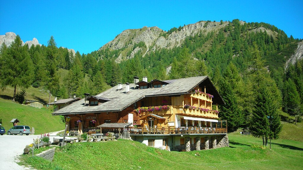
Starting point: loc. Socol (Cortina)
Difficulty: difficult; long and binding climb, some stretches must be covered on foot; long, steep and binding descent.
Duration: about 3 hours
Route
You leave from Socol. Cross the bridge on the river Boite, and the next clearing; then turn into the path n. 427 (Ponte Ajade- Pian della Baita). Continue sweetly uphill till a next junction, and turn left into the fir wood for about 15 minutes. The gradient increases and, about 10 minutes lately, you will arrive to Ponte dei Ajade. Now the most binding part of this journey is starting. Some stretches must be run on foot, but as you arrive at a little clearing you will meet a crossing: enter the mule track and continue by bike (n. 427). The gradient is still steep, but lower than the previous stretch. 10 minutes later you will arrive when the road enter the wood in a snake-like route. Overcome the rocky slope till, going uphill, you will arrive to Pian de Ra Baita (about 1600 m) at the path n 457 to San Vito, which goes uphill on the right to Rifugio Palmieri.
Few metres before this sign, on the right, a grassy path goes downhill. Follow it in order to return to the river till the ruins of an old bridge (Ponte de Pozuogo); here it is easy to ford the river. The back on you bike you will reach a wide grassy clearing; go round it on the left, and following the track on the grass, arrive to a little hut (P.P.) with a fountain.
Here the long descent that will lead you back to Socol, is starting. The road is steep and quite binding in some stretches. In 15 minutes you descend rapidly to the clearing of Col de Vido. Continue along this descent till you pass a wooden bridge, then a false flat stretch and again another binding descent. Pass along a feeding-trough for roe deer: from here a long not binding stretch will lead you through the wood and, after a little descent, to Socol. Itinerary suggested by Dr. Vinicio Tassani

