On western Lazfons Alps: short hike from Kaseregg to the Stöfflhütte
- Starting-point: Kaseregg parking (1959 mt.)
- At a glance: Kaseregg - Gfoler Alm - Stöfflhütte - return
- Altitude difference: 160 mt.
- Highest point: Gfoleralm (2120 mt.)
- Duration: 2 hours
- Length: 5 km
- Difficulty: two climbing-boots hike *
We go by car from Velturno/Feldthurns to Lazfons and then we continue covering many hairpin bends over S.Pietro/St. Peter, Mühlbach and the village of Rungallen till the parking located in Kaseregg (1959 mt.).
Now we follow the flat footpath among the huts until the wood's border and we arrive, after the Jocher Wiesen, at the Gfaller and the Gfoleralm (2120 mt.; called also Gfolerschupfen; refreshment).
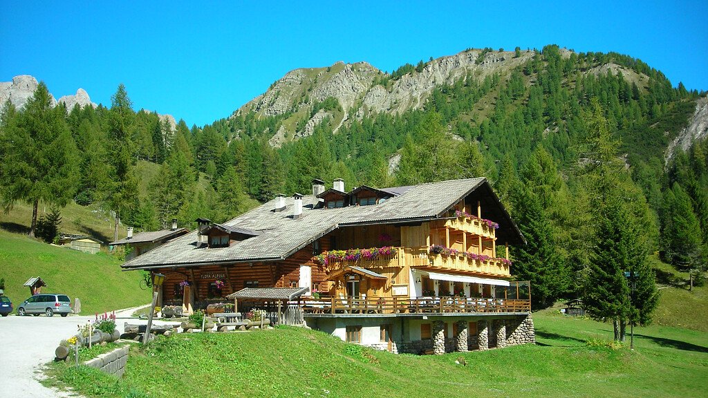
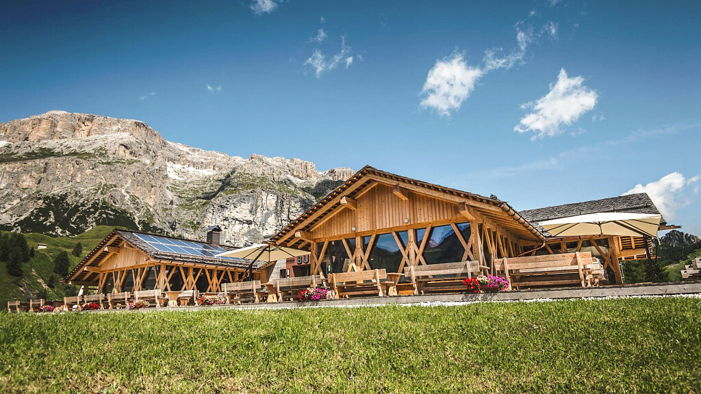
This easy hike offers a marvellous view of the surrounding area. Proceeding again with our walk we go down from the Gfoleralm to the very famous Stoffehütte (2057 mt.; about 1 hour far from the parking). This is a well-shaped hut built in a great position: here You will enjoy an incredible panoramic view of the Dolomites and, southwards, on Villandro/Villanders's huts.
Return: go back on the same path.
Useful advice: short and easy hike that takes us to the height of the huts located in the west of Lazfons. Nearby there are the Stoffhutte and Villandro/Villanders's huts. This hike covers many wide access roads and so it's recommended to families and elders. The road to Kaseregg is long and filled with bends, however.
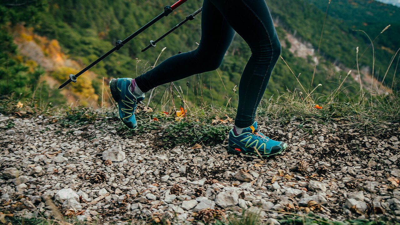
* Two climbing-boots hikes: from easy to medium hikes; length approximately between 1 hour and half and 3 hours; not hard ascents and descents; footpath often are covered with gravel; climbing-boots required.






-tablet.jpg)

