You leave from Padola tennis courts and enter the asphalted road on the left. Reach the junction and then continue on the left and pass the bridge. After about 2,9 km you will arrive at a big house, here turn left and enter the mule track which leads to a bridge. Cross it and turn right (not left along the comfortable excavated road) and then left, continuing in the wood, parallel to the river. Continue straight ahead at the first crossing, whereas at the second one you have to turn right till you reach the aqueduct. Continue along the mule track which runs along it, cross and asphalted road, which leads to the evocative lake of Campo, then cross another asphalted road, descend some steps and, past a meadow, continue following the line of the aqueduct. At a soccer field you will reach the asphalted road which climb on the right towards Passo Zovo (or di S. Antonio) and on the left descends towards Padola. Till now you have covered about 8 km. Enter the climbing road towards Passo Zovo, pass S. Anna church (on the lefts) and continue till the mule track on the right (the signs are to Casera Aiarnola, lago Aiarnola, at 1380 m).
From here you will start to climb (some stretches are difficult both for the gradient and the uneven road) and, after 10,17 km from the start you will arrive at a crossing: continue following the directions to Passo S. Antonio (CAI path n. 164). Now you have to continue in the wood, till a junction (Pra della Monte) where you have to turn left towards the pass. When you arrive at a clearing, continue on the right till you will meet another junction at the km 12,45: go on straight ahead on the right, and then at the next one, straight again (on the left). Past some ups and downs you will arrive at the Passo Zovo road, turn right and continue till the peak of the pass; then follow the signs to Danta. Continue downhill till the km 14,6 and then enter the excavated road which continues straight uphill to Forcella Zambei. At 15,37 km from the starting point you will meet a crossing: turn left and enter the descending mule track after the barrier. At the next junction continue along the central mule track (the one with the sign to S. Anna) which forks soon: you have to follow the track on the left and then continue along the main road. After about 17 km leave the mule track and enter a hard to cycle path, which winds into the wood (white and red signs and the S. Anna direction can help you).
At the km 17,8 the path ends : turn right and enter an uneven mule track. Few metres ahead turn left and continue along a false flat road. You will arrive at S. Anna little church. At the church turn right and continue the descent towards the centre, cross the bridge near a church and turn to Padola. Now you have nothing to do but cross it and go back to the tennis courts, at the starting point.
Starting point: Padola, tennis courts
Length: 21,8 km
Duration: 2,30 hours
Difficulty: medium
Difference in height: 420 m
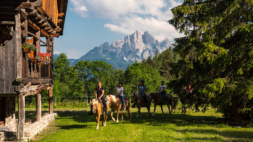
Comments: naturalistic itinerary among woods and lakes

