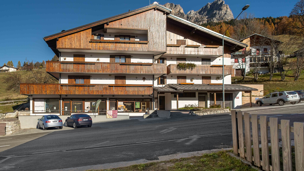
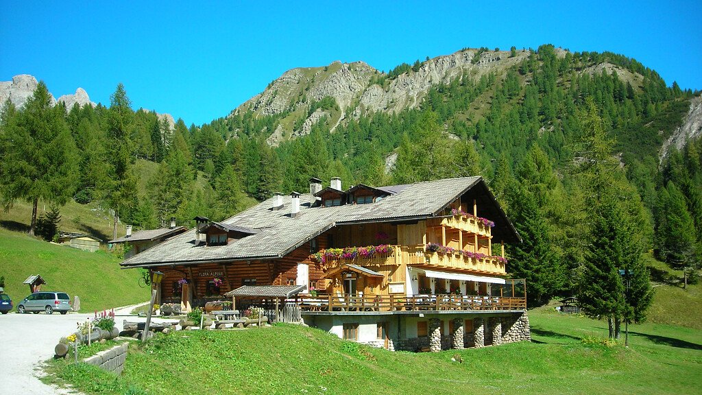
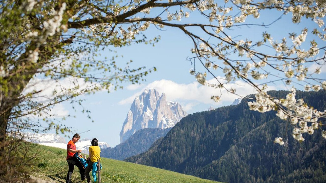
The Dolorama path, which can be traveled in 4 days, develops along the beautiful landscapes of the Isarco valley, starting from the Alpe di Rodengo / Luson, around the Plose, up to Laion. Beautiful views of the most fascinating Dolomite peaks stand out in front of you: from the imposing Sass di Putia to the magnificent Odle of the Val di Funes up to the majestic Sassolungo, Sasso Piatto and Sciliar.
The Dolorama trail runs almost entirely on forest roads and marked trails with a single crossing of a paved road. Along the way the prehistoric settlement of Astmoos on the Alpe di Luson and the geological stratifications at the Passo delle Erbe are worth a stop.
The four-day itinerary can also be tackled in stages: there are numerous points, where to start or shorten the route. Moreover, the departure and arrival points are easily reachable by public transport.
Technical dates
Start location: Zumis parking, Rodengo
End location: Laion
Crossing time: 4 days
Trail length: about 61 km
Total altitude difference: about 2356 m
Stages
1 stage: Zumis parking in Alpe di Rodengo - Monte Muro hut
Trail length: about 20.4 km
Total altitude difference uphill: about 941 m
Total altitude difference downhill: about 556 m
Crossing time: 6:50 h
2 stage: Monte Muro hut - Genova hut
Trail length: about 14.7 km
Total altitude difference uphill: about 718 m
Total altitude difference downhill: about 534 m
Crossing time: 4:45 h
3 stage: Genova hut - Rasciesa
Trail length: about 16.2 km
Total altitude difference uphill: about 664 m
Total altitude difference downhill: about 808 m
Crossing time: 5:00 h
4 stage: Rasciesa - Laion
Trail length: about 9.7 km
Total altitude difference uphill: about 33 m
Total altitude difference downhill: about 1106 m
Crossing time: 3:00 h
N.B. Before starting the itinerary, it is advisable to find out about the weather and verify the opening of the shelters and their availability.






-tablet.jpg)

